


 24/7 Emergency Service
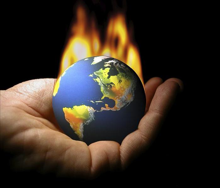
Why This Summer Could Be Hot Hot Hot
5/21/2014 (Permalink)
Summer 2014 is now emerging as an El Niño summer. The climate prediction center has placed the East Coast, Southeast, and West in an area of very hot weather. How hot would it get? Temperatures heading into an El Niño summer would mean 50% more 90+ degree days in places like Boston, Providence, New York City, Philadelphia, Baltimore, and Washington. High humidity will accompany the heat, with at least 25 days exceeding 100 degrees with the afternoon heat index.
This would also mean bad news for West Coast's wildfire season and a continuation of the current drought in California. Relief for CA wouldn't come until December-February, with Southern CA, Southwest, and Southern Rockies getting more relief in the winter vs. Northern California.
The pre-El Niño months of May and early June should definitely see a sign of warmer-than-normal temps in the East and Southeast and West, and the core of summer will bring once we get into the core of summer we'll see an El Niño roaster for the East Coast and South. The confidence is trending up with the forecast, and the latest IPC computer modeling shows a 66% chance of an El Niño this winter.
Models can overplay the warming of the oceans due to climate change and the predicted El Niño could be masked like the one in 2012; however, the law of averages shows it's time for the seven year El Niño itch.
Called a Kelvin Wave, an expanding pool of water now 4-6c above normal on the upper surface water of the Pacific Ocean which gets bigger and bigger. Some experts say it's may rival the Kelvin Wave of 1997-98 - the biggest El Niño of all-time. Why is this wave important? As the surface waters start to warm, the pool of water pushes East against the normal West flow of the Pacific. The true indicator of whether we end up with a weak or moderate El Nino will be how far this huge, warm pool of water travels over the Pacific Ocean the next 2-12 months. If the entire pool of toasty water moves Eastward to the West Coast of Mexico and South America, you set the stage for a potential Pineapple Express. Throw in a moisture-laden jet stream from Hawaii and strong El Nino, and the entire southern half of the United States is wet this winter. On the contrary, if the pool of water stays parked in the Central Pacific you get a weak to moderate El Nino.
If you have summer plans for the beach, or plan on visiting the local lake to cool off, you'll be glad you made that reservation. The areas of the U.S. to see the biggest increase in the heat this summer will be: California, Nevada, Arizona, Utah, Oregon, Texas, Oklahoma, Missouri, Georgia, Virginia, Maryland, Delaware, DC, New Jersey, New York, and Pennsylvania.